Collectors paradise
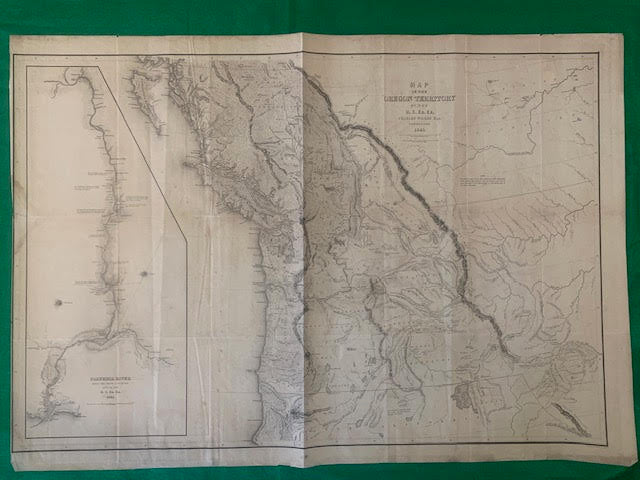
ORIGINAL MAP OREGON TERRITORY 1841
ORIGINAL MAP OREGON TERRITORY 1841
Couldn't load pickup availability
ORIGINAL MAP OREGON TERRITORY 1841
Size: 90cm x 64cm
Charles Wilkes In 1838, although not yet a seasoned naval line officer, Wilkes was experienced in nautical survey work, and was working with civilian scientists. Upon this background, he was given command of the government exploring expedition "... for the purpose of exploring and surveying the Southern Ocean,... as well to determine the existence of all doubtful islands and shoals, as to discover, and accurately fix, the position of those which [lay] in or near the track of our vessels in that quarter, and [might] have escaped the observation of scientific navigators." The US Exploring Squadron was authorized by act of the Congress on May 18, 1836.
MAP-F1-19
Share


